SHARED PATH CONSTRUCTION – CADELL STREET, WENTWORTH Dates: Monday 17 August – Sunday 6 November Location: Cadell Street, Wentworth
Construction will commence on a new 2.1-metre-wide shared concrete path along Cadell Street, Wentworth. This project will provide safe pedestrian and cyclist access directly to Junction Park.
——————————————————————-
Traffic control will be active for the duration of the works.
Motorists, pedestrians, and cyclists are requested to follow on-site signage, adhere to temporary speed limits, and obey instructions from traffic controllers. Property access for residents will be maintained throughout construction, though minor delays may occur.
Road users are advised to allow extra travel time and exercise caution when travelling through these work zones.
Major pavement rehabilitation and widening works are officially complete on Fletcher’s Lake Road. This crucial upgrade ensures a more resilient network for residents, commuter traffic, and our regional freight industries.
Project Overview
Upgrade Length: 1.47km section
New Sealed Width: 7.4 meters
Funding Source: Fully funded by the NSW Government’s Regional Emergency Road Repair Fund (RERRF)
Why This Upgrade Matters
Fletcher’s Lake Road serves as a vital heavy vehicle thoroughfare connecting the Coomealla and Pooncarie regions. The primary objectives of this rehabilitation project include:
Enhanced Safety: Lane widening provides more room for heavy vehicles and passenger cars to pass safely.
Reduced Maintenance: The renewed pavement significantly decreases the Council’s maintenance burden caused by reoccurring edge defects
Council thank local motorists and primary producers for their patience and cooperation while our crews delivered these road safety improvements.
Council are pleased to announce that the scheduled road pavement rehabilitation and widening on Memorial Road is now complete, delivering an immediate safety boost to the local area.
Project Overview
Upgrade Length: 1km section
New Sealed Width: 6.8 meters
Funding Source: Fully funded by the NSW Government’s Regional Emergency Road Repair Fund (RERRF)
Improving Local Community Access
This project was specifically designed to target safety and ease of access for local residents and visitors utilising our community infrastructure. Key improvements include:
Curve Standardisation: Correcting and standardising horizontal curves to improve driver sightlines and vehicle handling.
Better Public Access: Providing a wider, safer, and smoother journey to critical local public spaces, including the Curlwaa Hall and oval.
Council thanks the Curlwaa community and local motorists for your patience throughout the duration of these civil works.
https://www.wentworth.nsw.gov.au/wp-content/uploads/2026/06/Road-Upgrades2-scaled.jpg25602048Marketing & Communications Officerhttps://www.wentworth.nsw.gov.au/wp-content/uploads/2022/11/wsc-logo-180.pngMarketing & Communications Officer2026-06-26 15:57:112026-06-26 15:57:11Memorial Road Widening and Safety Works
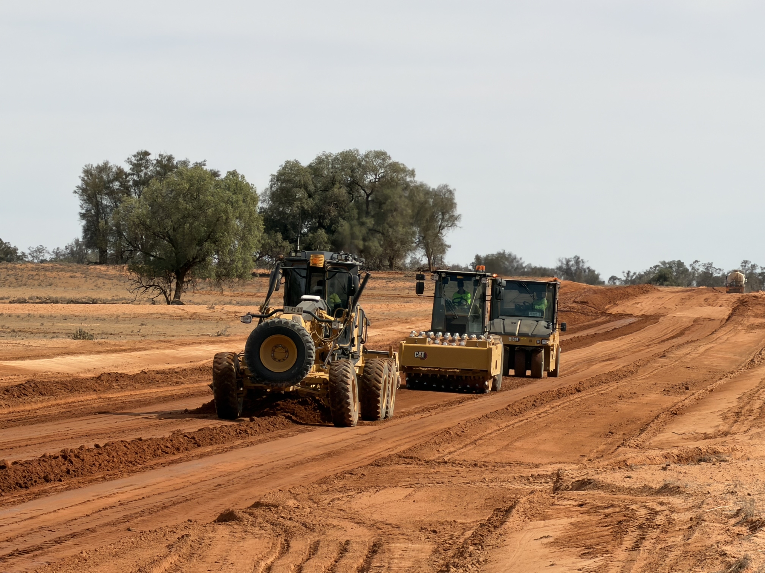
Council is completing 10km of formation and drainage works at the southern end of Nob Road. These upgrades are vital for building up low-lying areas to prevent water ponding and to reduce closures during the wet season. 🌧️
The project is 50/50 funded by the Regional Emergency Road Repair Fund (RERRF) and Roads to Recovery programs.
A further 4.8km of re-sheeting is scheduled for completion this financial year.
Please drive carefully around heavy machinery and follow traffic directions. Thank you for your patience as these works improve our shire’s road network.
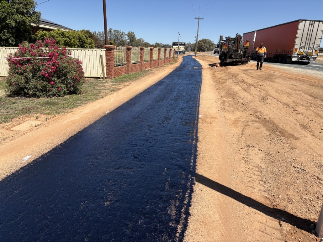
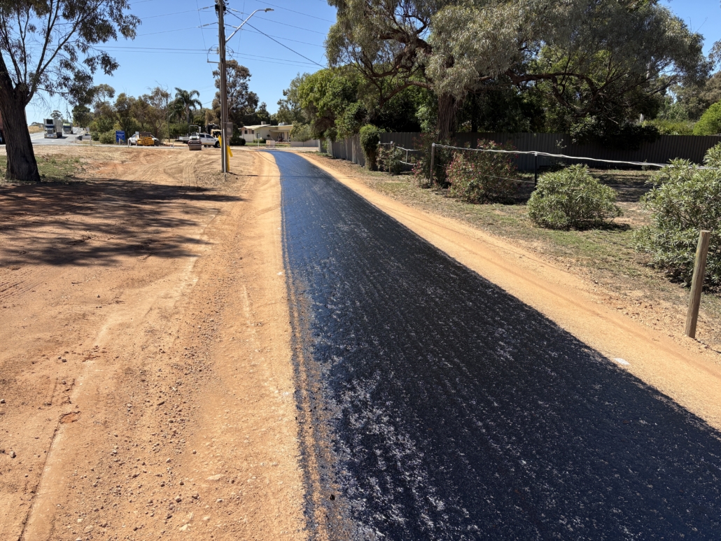
Please be advised of a temporary closure as part of the shared footpath upgrade works along the Sturt Highway between Drings Hill and the Midway Centre.
The footpath will be closed to all pedestrians on Thursday 13 and Friday 14 November to allow final asphalt works to be completed.
Council apologises for any inconvenience this short-term closure may cause and thanks the community for its patience and understanding.
We look forward to completing this important project soon for the benefit of both residents and visitors.
Have your say: Help shape the future of transport in the Far West
Transport in the Far West is entering an important new phase. Transport for New South Wales is developing a Strategic Regional Integrated Transport Plan (SRITP) for the Far West, to be finalised in early 2026.
Before drafting the Plan, feedback is being sought from communities across the region. Whether it is daily travel, access to essential services, freight movements or connectivity to neighbouring towns — community experience is vital.
Why input matters
Ensures the Plan reflects real needs, challenges and opportunities in the region
Helps guide where infrastructure and transport services should be prioritised
Provides the region with a voice in shaping future transport investments
How to contribute
Visit the Have Your Say – Far West portal to drop a pin on the interactive map, comment on issues, or make a formal submission.
Subscribe on the portal to receive updates as the Plan progresses.
Key dates and process
Currently: Open for submissions and community input
Next phases: Reviewing submissions, drafting the Plan, public exhibition, and reporting back on what was heard
Residents, businesses, community groups and service providers across Wentworth Shire and the wider Far West are encouraged to contribute. This is an important opportunity to help ensure transport networks support connectivity, economic growth and community wellbeing.
https://www.wentworth.nsw.gov.au/wp-content/uploads/2025/09/P4P316-17_SRITP_socials_Far-West_20250916.png10801080Marketing & Communications Officerhttps://www.wentworth.nsw.gov.au/wp-content/uploads/2022/11/wsc-logo-180.pngMarketing & Communications Officer2025-09-29 16:45:252025-09-29 16:45:26Have your say: Help shape the future of transport in the Far West
Final Stage Completed at Buronga Riverfront Precinct
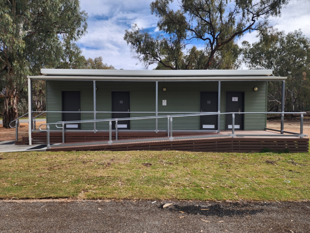
Wentworth Shire Council has officially completed the Buronga Riverfront upgrade, with the opening of a new, accessible public toilet block marking the final stage of the project.
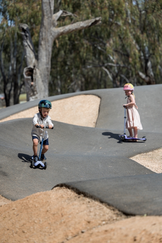
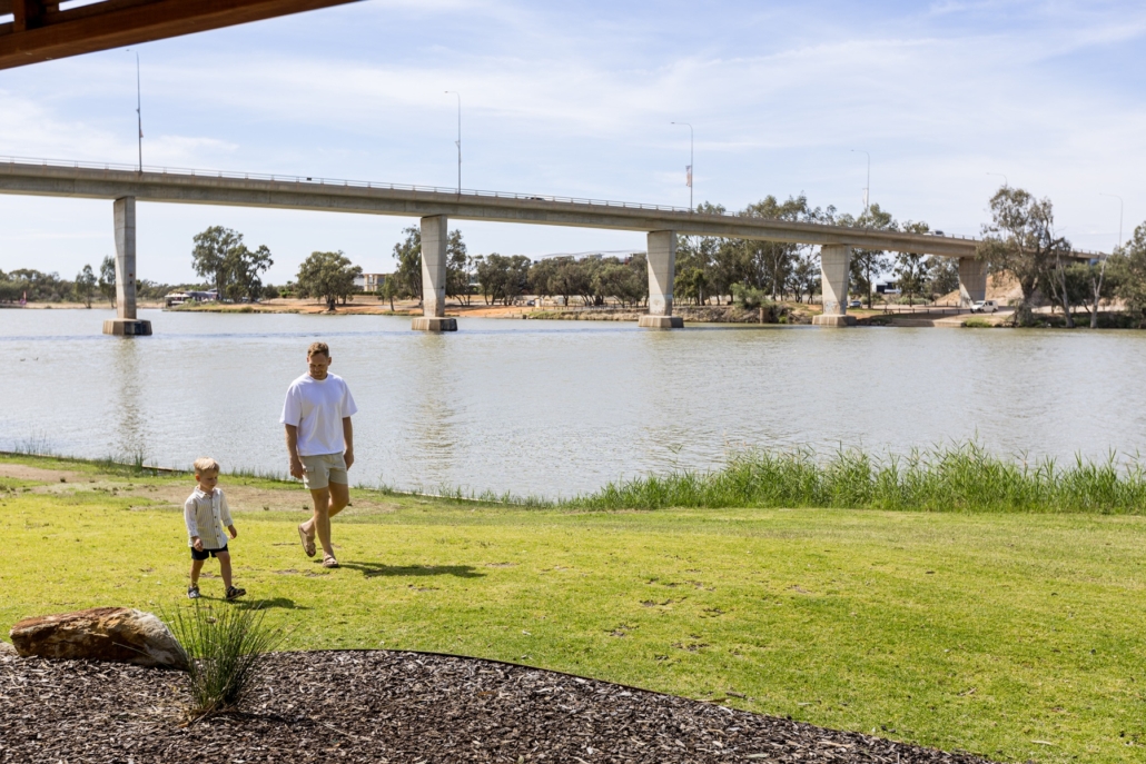
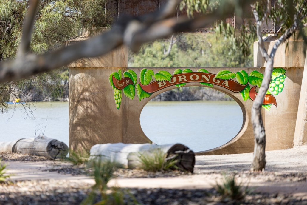
The Buronga Riverfront precinct has been transformed into a major recreational hub on the banks of the Murray River, providing families and visitors with high-quality facilities and attractions.
Mayor, Cr Daniel Linklater, said the project delivers on Council’s vision for a vibrant and inclusive community space.
“This is a proud moment for our community. Families have embraced the pump tracks and nature play area, and with these new facilities, they can enjoy this beautiful location for even longer.”
General Manager, Mr Ken Ross, said the project highlights Council’s investment in spaces that enhance daily life and visitor experience.
“The Buronga Riverfront has quickly become part of everyday life for local families and community groups, while also attracting visitors. It is a space where people can gather, exercise, relax and connect with the river.”
New Facilities Now Open
The completed precinct now includes:
A modern amenities block with accessible and family-friendly facilities
Dual sealed, all-weather pump tracks
A rejuvenated nature-based playground, restored following flood impacts
Undercover seating and picnic tables
Landscaped lawns and pathways along the Murray River
Location
The Buronga Riverfront precinct is located on the northern bank of the Murray River, adjacent to the George Chaffey Bridge. Access is via the Sturt Highway (A20), with links to regional bus services and shared pedestrian/cycle paths connecting Gol Gol, Buronga and Mildura.
Council encourages both residents and visitors to make the most of this new community destination.
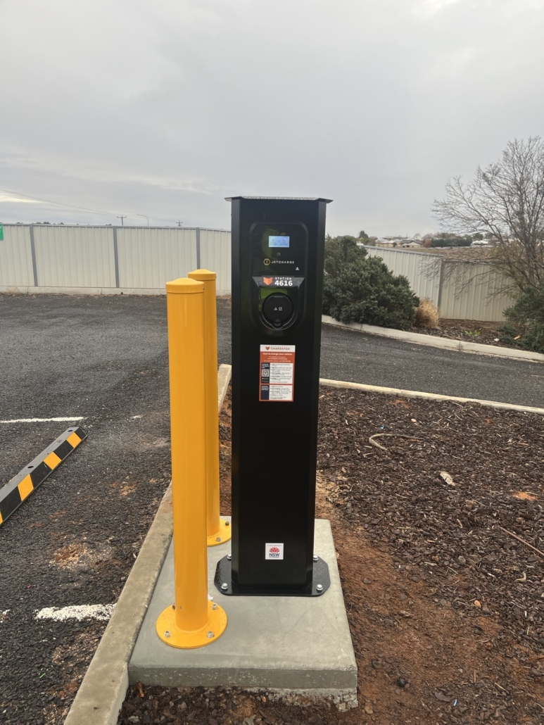
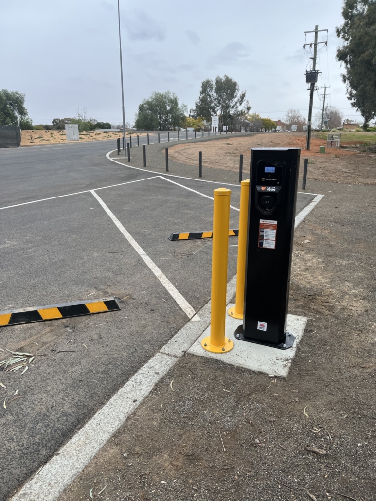
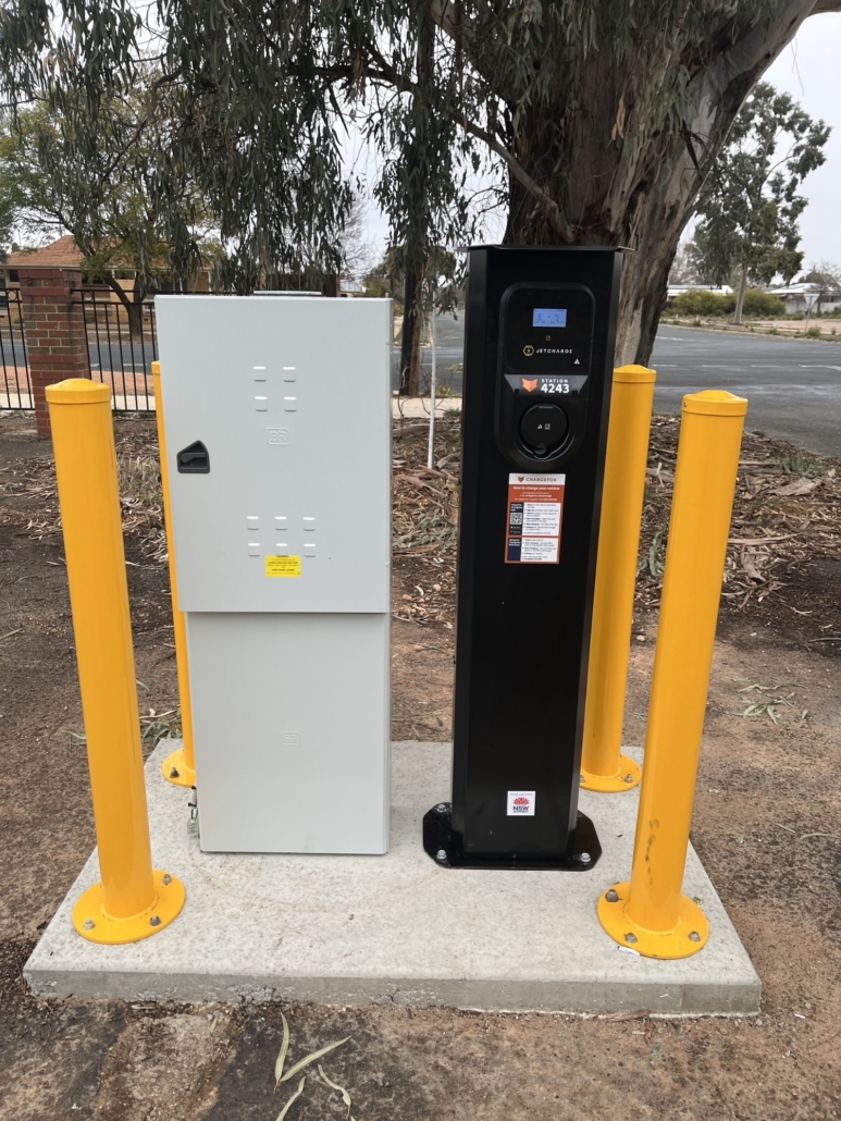
Wentworth Shire Council is pleased to announce the installation of six (6) new electric vehicle (EV) chargers, set to be operational for public use from August.
The chargers are located at three community sites: the Midway Community Centre in Buronga, the Wentworth Visitor Centre, and the Wentworth Riverfront. Each charger offers fast 22kW AC charging and supports all major EV models delivering reliable, convenient, and accessible charging options in the heart of the Shire.
Powered by EV network leader Chargefox, the chargers incorporate smart software that enables real-time monitoring, multiple payment options, and user-friendly features through the Chargefox app – ensuring a seamless experience for all EV drivers.
Wentworth Shire Council Mayor, Cr Daniel Linklater, welcomed the initiative, stating: “This is a positive step forward in improving local infrastructure and embracing a cleaner, more sustainable future. The new chargers will be a valuable addition to our Shire for both visitors and locals, helping support tourism while providing essential services to our community.”
Council’s General Manager, Ken Ross, said the new EV infrastructure reflects Council’s commitment to regional development. “We are proud to be delivering modern and practical infrastructure that not only meets the needs of our growing population but also enhances the liveability of our towns and villages. These chargers will improve convenience for residents and increase appeal for travellers driving electric vehicles.”
This project has been supported by the New South Wales Government through the EV Destination Charging Grant – Round 2. Under the program, the NSW Government provided $9,360.00 for each charging location, contributing to the total cost across the three sites.
To locate a charger or learn more, visit the Chargefox website at www.chargefox.com or search directly in Google Maps.
https://www.wentworth.nsw.gov.au/wp-content/uploads/2025/07/Public-EV-Chargers-Launched.jpg17541754Marketing & Communications Officerhttps://www.wentworth.nsw.gov.au/wp-content/uploads/2022/11/wsc-logo-180.pngMarketing & Communications Officer2025-07-30 14:39:332025-07-30 14:39:34Charge Ahead: Wentworth Shire Council launches new public EV chargers
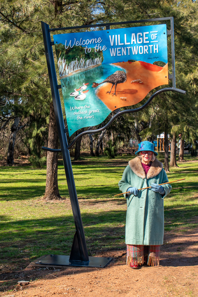
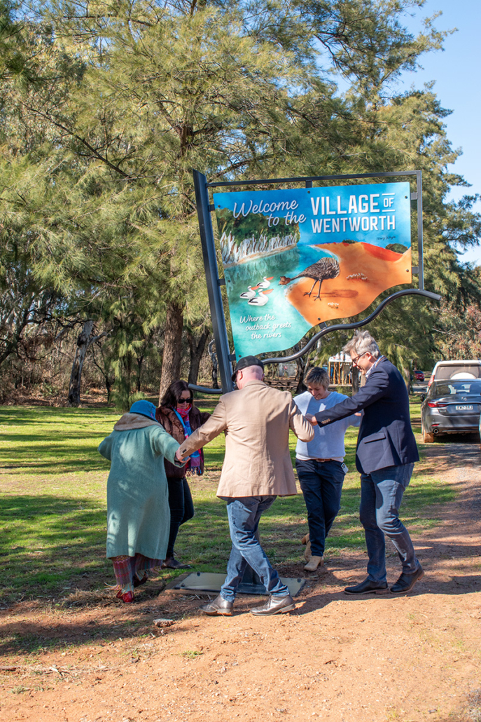
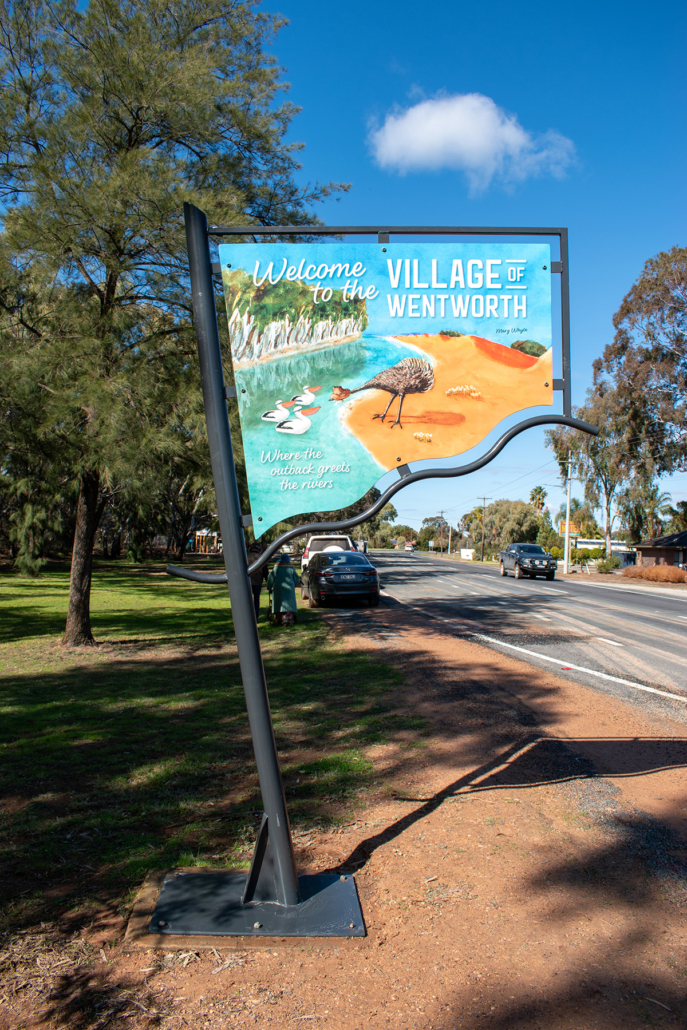
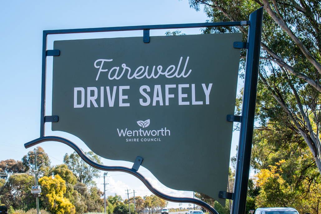
New signage marks entrance to Village of Wentworth
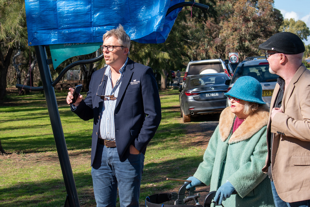
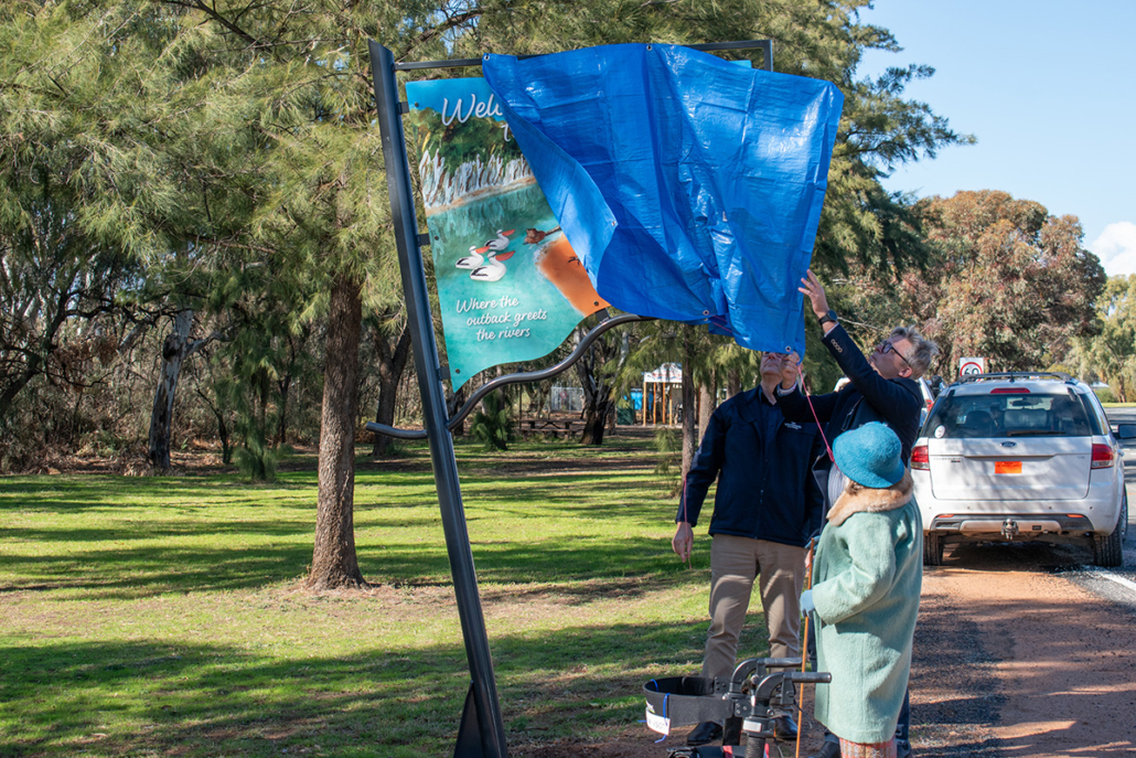
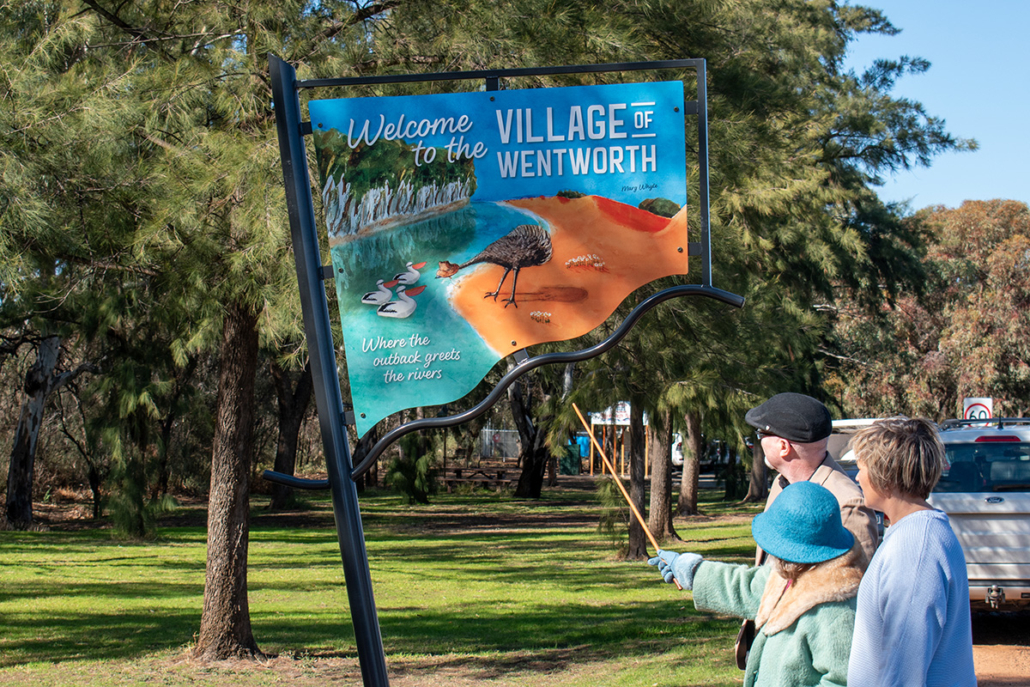
Council has officially unveiled the new Village of Wentworth entrance signage – a vibrant and striking welcome to all who visit our region.
The design incorporates original paintings and illustrations by local artist Marg Whyte, brought together digitally by Saunders Design. The existing NSW-shaped frame has been repurposed and freshly painted to highlight the message “Where the outback greets the rivers” – depicted through the imagery of an emu meeting pelicans.
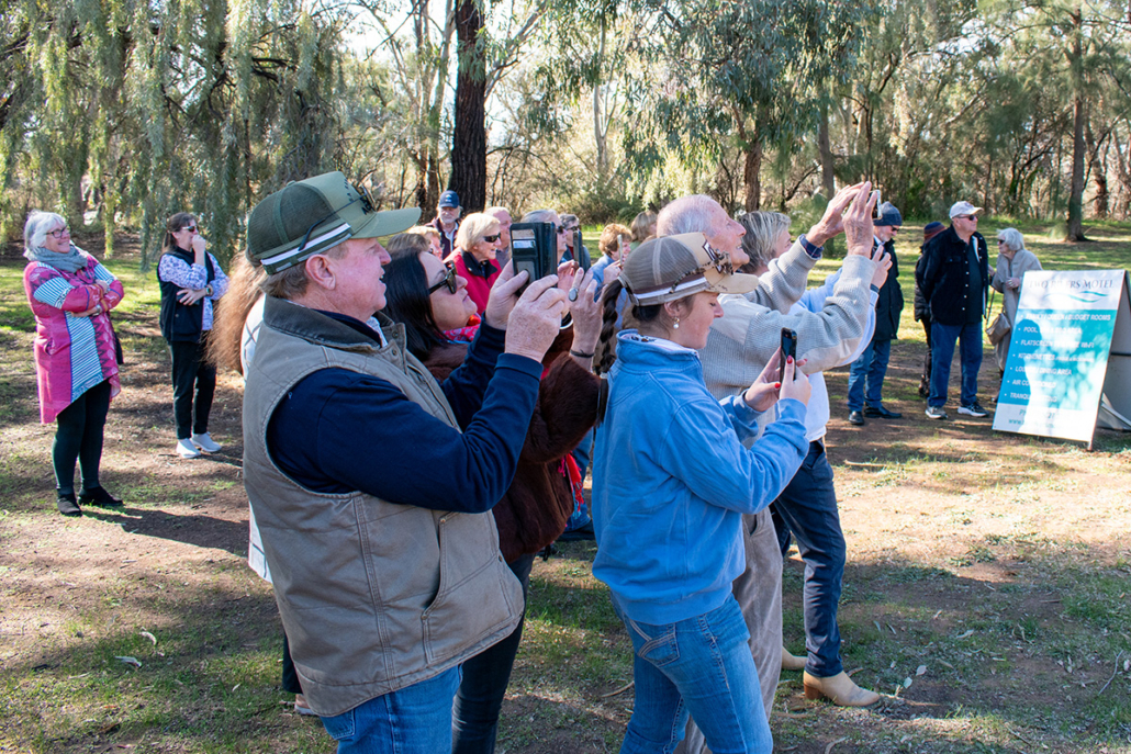
Council thanks everyone who joined the unveiling. Approximately 40 local residents attended, including Deputy Mayor Peter Crisp, Councillor Sue Nichols, Mayor Daniel Linklater, General Manager for Wentworth Shire Council Mr Ken Ross and representatives of Saunders Design.
Council congratulates all involved for bringing this new signage to life.
https://www.wentworth.nsw.gov.au/wp-content/uploads/2025/07/Village-of-Wentworth-Unveiling.jpg17541754Marketing & Communications Officerhttps://www.wentworth.nsw.gov.au/wp-content/uploads/2022/11/wsc-logo-180.pngMarketing & Communications Officer2025-07-30 14:17:192025-07-30 14:21:15New signage marks entrance to Village of Wentworth